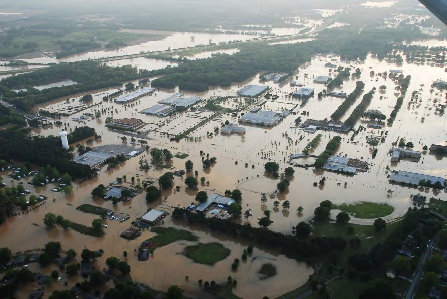
Remote Sensing for Disaster Response

https://www.af.mil/News/Article-Display/Article/116782/rescue-center-members-assist-with-saving-330-lives-in-tennessee/

Program Overview

Imagine coordinating a response after the chaos of a hurricane or the challenges of a famine lasting years, these big problems require big data to solve. With airplanes and satellites, we collect mountains of data of affected regions but who looks at this data? How do we turn this data into a physical response? The program’s goal is for participants to explore, leverage, and transform open source information and imagery collected from drones, airplanes, helicopters, and satellites to generate actionable intelligence to support a disaster or humanitarian response.


Students will be exposed to three main components:

1) feature extraction from raw data,

2) classification via machine learning techniques, and

3) data products for decision makers. The program will explore tools and techniques using real world operational data collected from across the globe.


BWSI Remote Sensing program will offer students the opportunity to explore the exciting intersection of data science and disaster response. The program consists of two components: (1) online course from January to May, open to all interested and committed students; and (2) a four-week virtual summer program. During the course, the students will learn to understand the basics of Python, Git, GIS, machine learning, and image processing through a series of online teaching modules. Students will explore real world datasets featuring disaster imagery from both satellites and aerial platforms. Students in this course will develop experience in an area of data science that is poised to play a critical role in understanding our world.

Online Course

Prior to the virtual summer course, students will be required to complete an online course which contains important introductory material. The online course will give the students a strong foundation required to successfully complete the four-week summer course. In addition to foundational introductory material, the online course includes discussion of different use cases and expose students to real world challenges and applications of the coursework.

Introduction and Prerequisites

           Computer Science

         Data Science

         Real World Data

 Getting started with Python  Advanced NumPy

 Civil Air Patrol

 Git & GitHub management  Simple image classification

 USGS Landslide Assessment

 Machine learning perspectives   Introduction to Web Services

 Zanzibar Mapping Initiative

Summer Course

The four-week summer component of aims to guide students through the processing of designing experiments to evaluate primarily text-based content. Daily course material, case studies, guest lectures, and small-group projects will expose students to challenges across technical domains.
The following is a rough outline for the summer course:

Week 1: Introduction to GIS

• Review of Python fundamentals
• Introduction to pandas, geopandas, geospatial information systems
• Research questions, hypotheses and objectives
• Working with open source tools and data

Week 2: Analysis of Geospatial Data

• Introduction to classifiers and data science
• Spatial analysis and networks
• Geospatial data sources and how to work with them

Week 3: Introduction to Image Processing

• Fundamentals of images and metadata
• Multispectral imaging
• Satellite images and analysis

Week 4: Image Classification and Decision Making

• Classify images based on contents
• Intro to optimization
• Data-driven decision making